

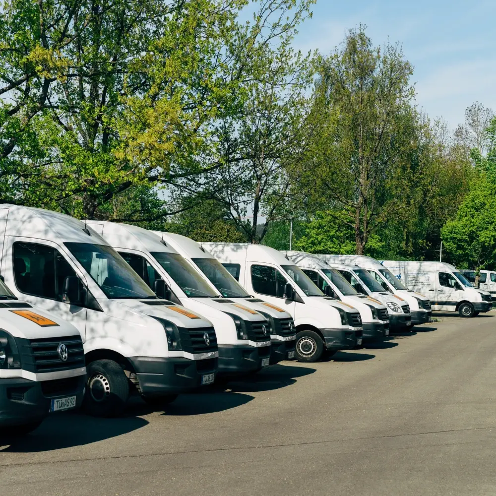
High-resolution satellite tiles covering freight depots, distribution centers, and highway corridors. 어노테이션s include vehicle 바운딩 박스es with class labels (truck, trailer, van), depot occupancy counts, and loading-dock status. The 데이터셋 enables logistics teams to optimize fleet scheduling and route planning from overhead imagery.
What's in this 데이터셋
작업 유형
감지
태그
2D위성

직접 데이터를 탐색할 준비가 되셨나요?
See how Mission Control can help your team manage 데이터셋s, 어노테이션s, and model workflows.
데모 예약