

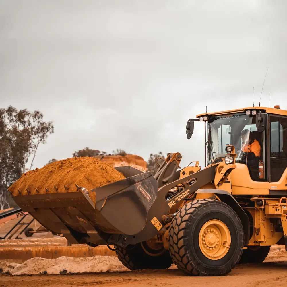
Periodic drone flights and ground-based 3D scans capture construction sites over weeks and months. Each scan is registered to a BIM reference model, enabling automated progress tracking and deviation detection. 어노테이션s highlight structural elements, heavy machinery, safety zone violations, and material stockpiles for site management AI systems.
What's in this 데이터셋
작업 유형
재구성
태그
3D이미지LiDAR

직접 데이터를 탐색할 준비가 되셨나요?
See how Mission Control can help your team manage 데이터셋s, 어노테이션s, and model workflows.
데모 예약