

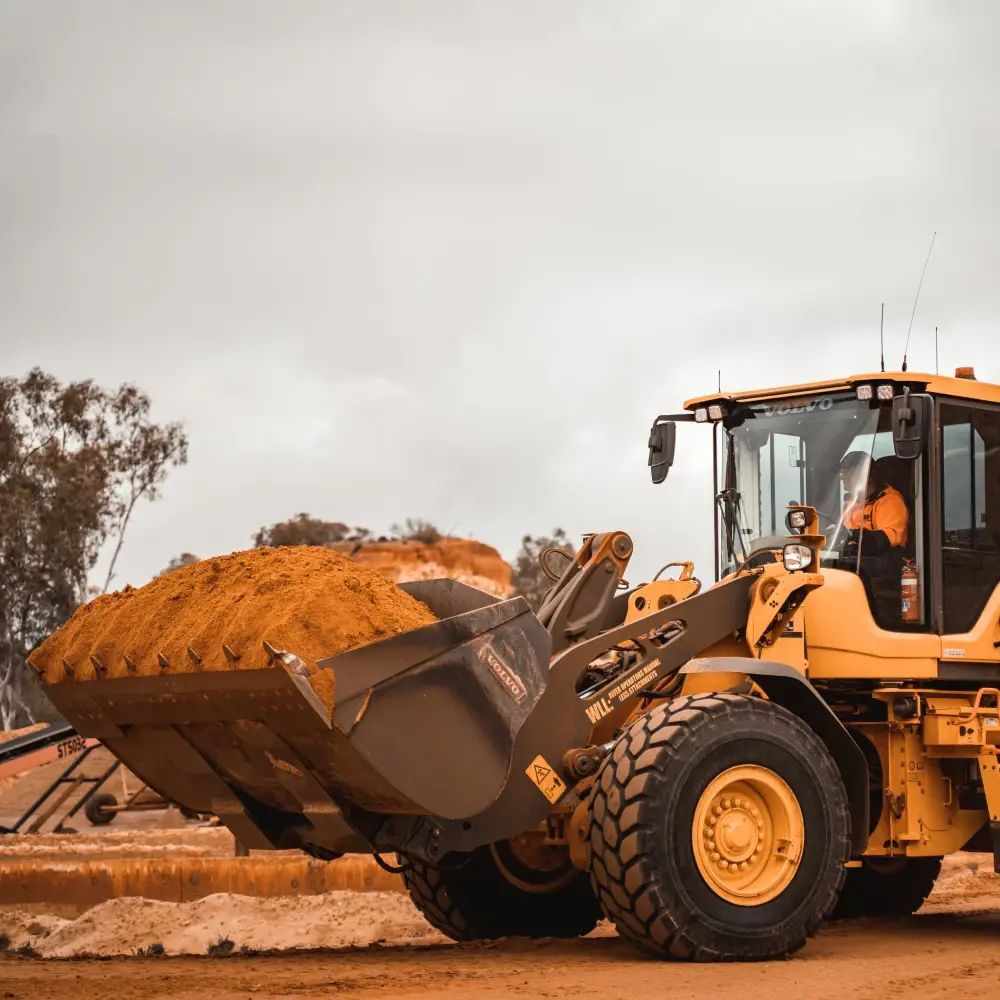
Terrestrial and drone-mounted LiDAR surveys of open-pit mines captured at regular intervals. 어노테이션s include excavation boundary polygons, haul-road segments, equipment 바운딩 박스es, and volumetric change maps. The 데이터셋 helps mining operators automate progress tracking, stockpile measurement, and safety-zone compliance monitoring.
What's in this 데이터셋
작업 유형
추적
태그
3DLiDAR

직접 데이터를 탐색할 준비가 되셨나요?
See how Mission Control can help your team manage 데이터셋s, 어노테이션s, and model workflows.
데모 예약