

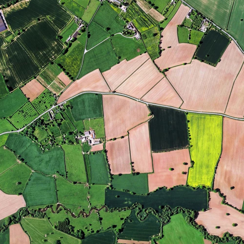
산림3DLiDAR항공
산림 수관 분석
Airborne LiDAR 포인트 클라우드s for tree crown segmentation, canopy height modeling, and biomass estimation in managed forest environments.
뷰어에서 열기Airborne LiDAR acquisitions over temperate and tropical forests with per-tree segmentation, species classification, and canopy height models. Ground-truth field measurements calibrate above-ground biomass estimates. The 데이터셋 supports sustainable forestry management, carbon stock monitoring, and wildfire fuel-load assessment.
What's in this 데이터셋
작업 유형
세그멘테이션
태그
3DLiDAR항공



직접 데이터를 탐색할 준비가 되셨나요?
See how Mission Control can help your team manage 데이터셋s, 어노테이션s, and model workflows.
데모 예약