
Surface and component anomalies
Isolate corrosion, cracks, spalling, deformation, missing hardware, and other component-level conditions across asset types.
Built for infrastructure inspection robotics
Connect RGB, thermal, LiDAR, and telemetry data in one traceable loop, from inspection capture to model-ready dataset releases.
One operating record from inspection mission to versioned dataset release.
One operating loop
Replace fragmented handoffs with a traceable path from synchronized inspection capture to the next model-ready dataset release.
Bring MCAP, thermal and RGB video, point clouds, GNSS, IMU, and asset events together without stripping away time or source context.
Search and slice by asset, component, anomaly, weather, viewpoint, and sensor condition to assemble the scenarios the next training cycle needs.
Combine model assistance with human 2D, 3D, and temporal review, then apply the quality gates each release requires.
Agree on the managed delivery format and source metadata. The self-service registry and public resolver remain in development; evaluate their availability separately from your current dataset handoff.
Scenario intelligence
Turn long inspection runs into focused training slices while preserving the sensor, asset, and operating context around every event.
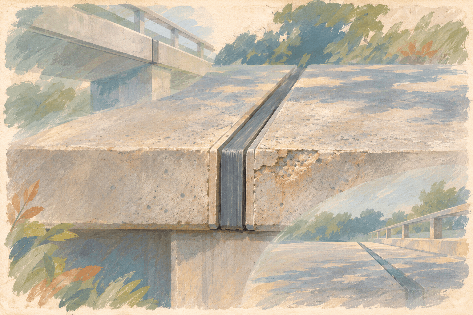
Isolate corrosion, cracks, spalling, deformation, missing hardware, and other component-level conditions across asset types.
Preserve aligned point clouds, camera views, poses, calibration, and measurements for structural-change and clearance scenarios.
Curate the viewpoints and environmental conditions where inspection models lose confidence.
Durable dataset identity
Managed dataset operations are available today. This example shows the registry contract in development: an immutable manifest, revision, source origins and declared rights. Confirm the delivery format for your program before relying on resolver access.
infrastructure/bridge-inspection@v9Built for infrastructure inspection autonomy
Keep bridge, rail, road, tunnel, and site inspection work on the same dataset and quality foundation.
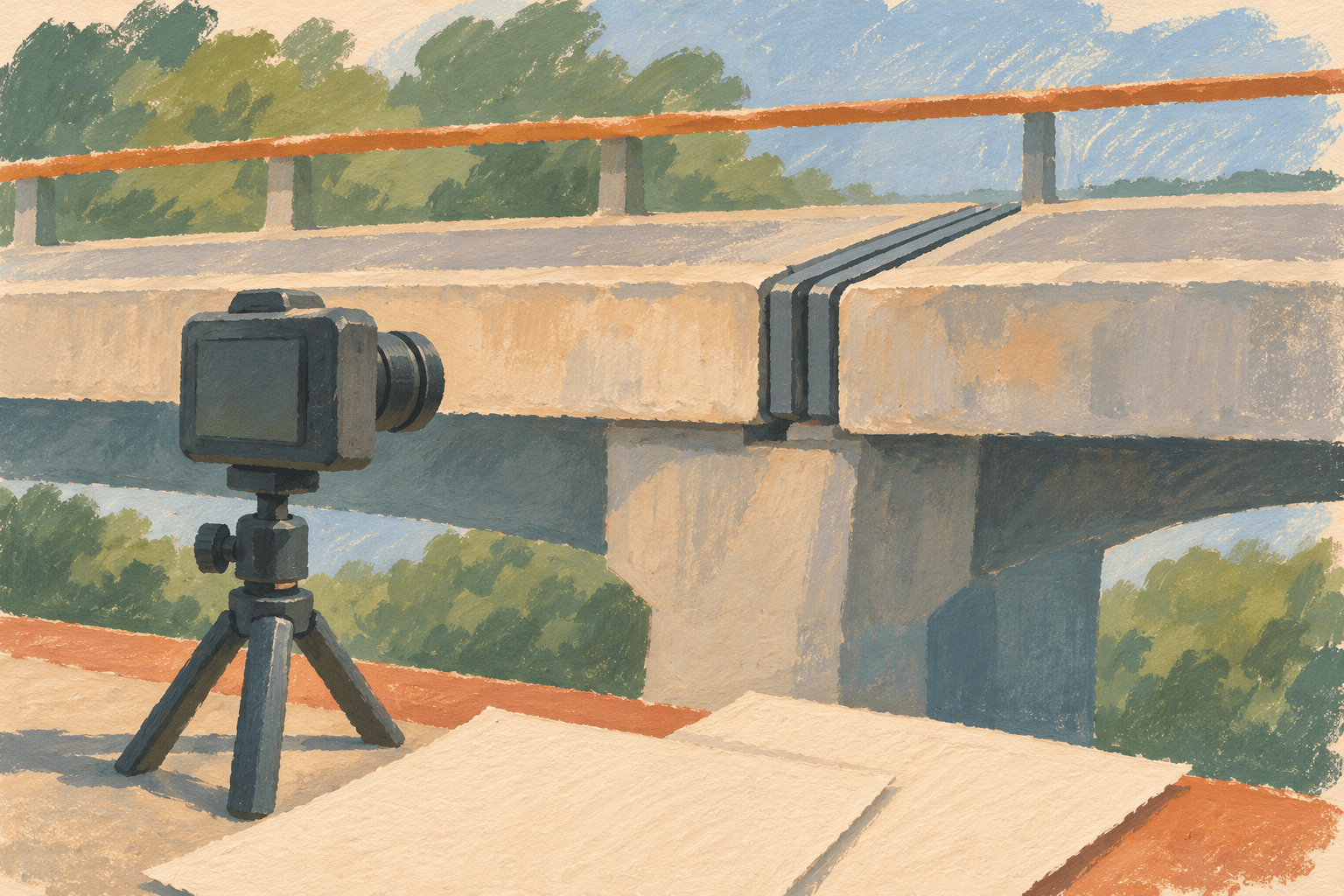
Build temporal and multi-view datasets for decks, piers, cables, joints, façades, and other critical components.
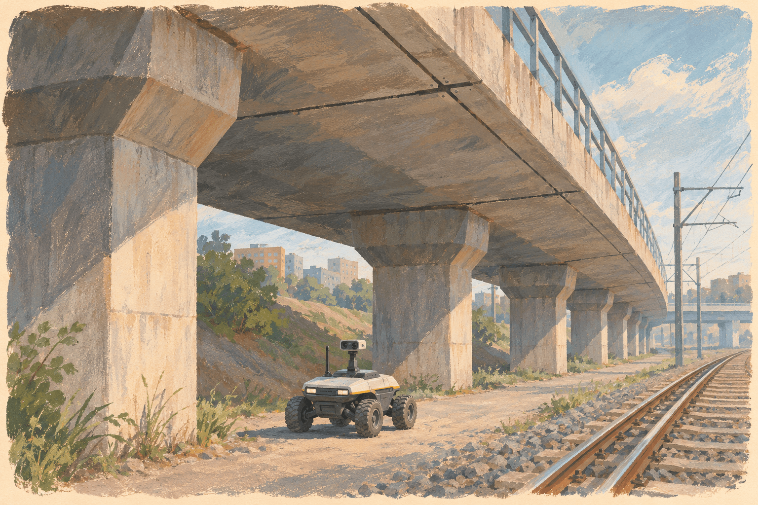
Align track, overhead line, platform, tunnel, and right-of-way evidence across repeated inspection runs.
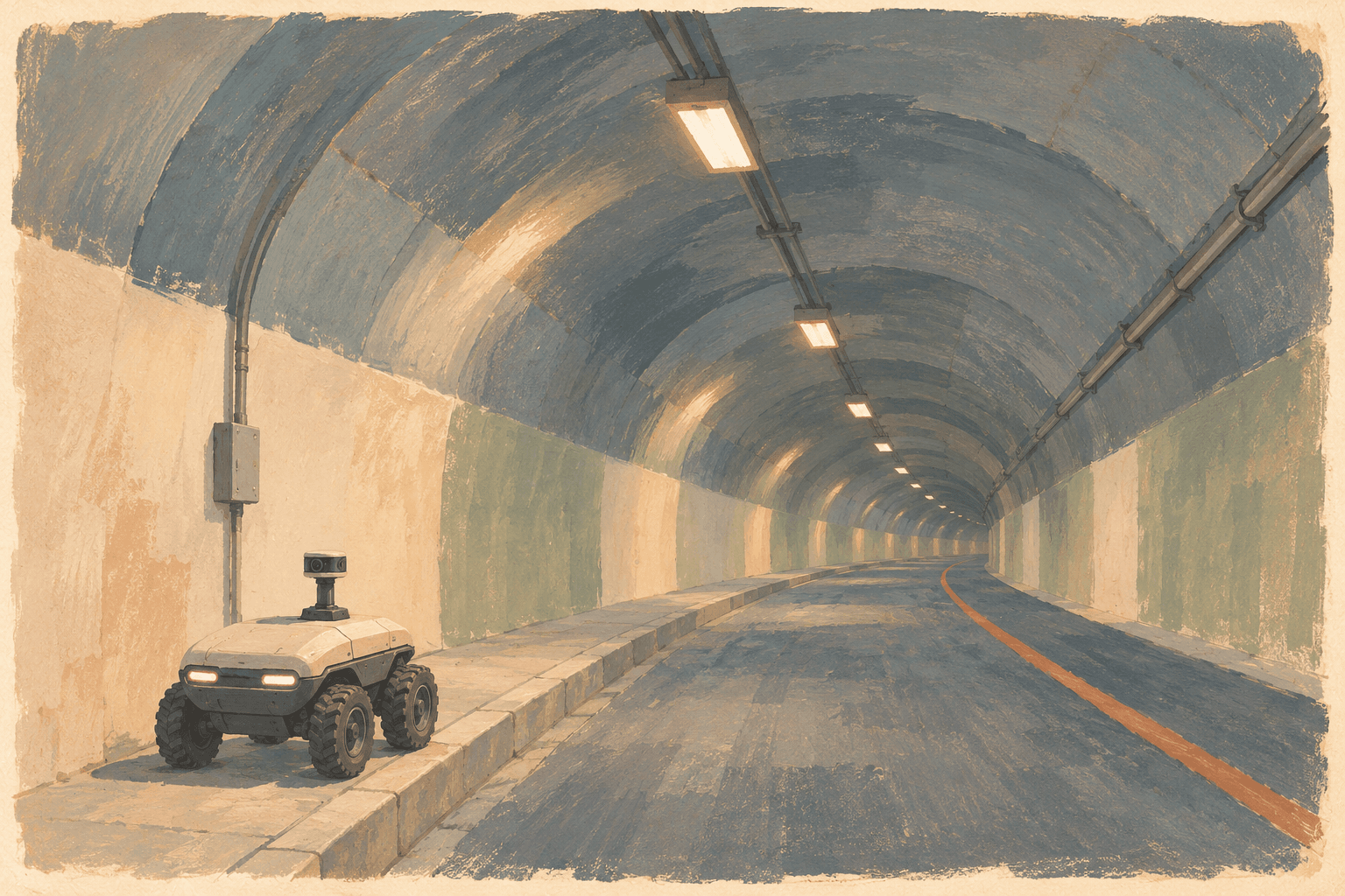
Curate pavement, barrier, signage, clearance, and tunnel-surface conditions with location and sensor context intact.
Review drone, rover, vehicle, and fixed-sensor data for progress, component conditions, and difficult-to-reach assets.
Start with one model bottleneck
Bring your sensor stack, current workflow, and target behavior. Leave with a scoped path from inspection missions to a versioned dataset.